Hiking to Fern Lake (June Lake, CA) - Trip Report
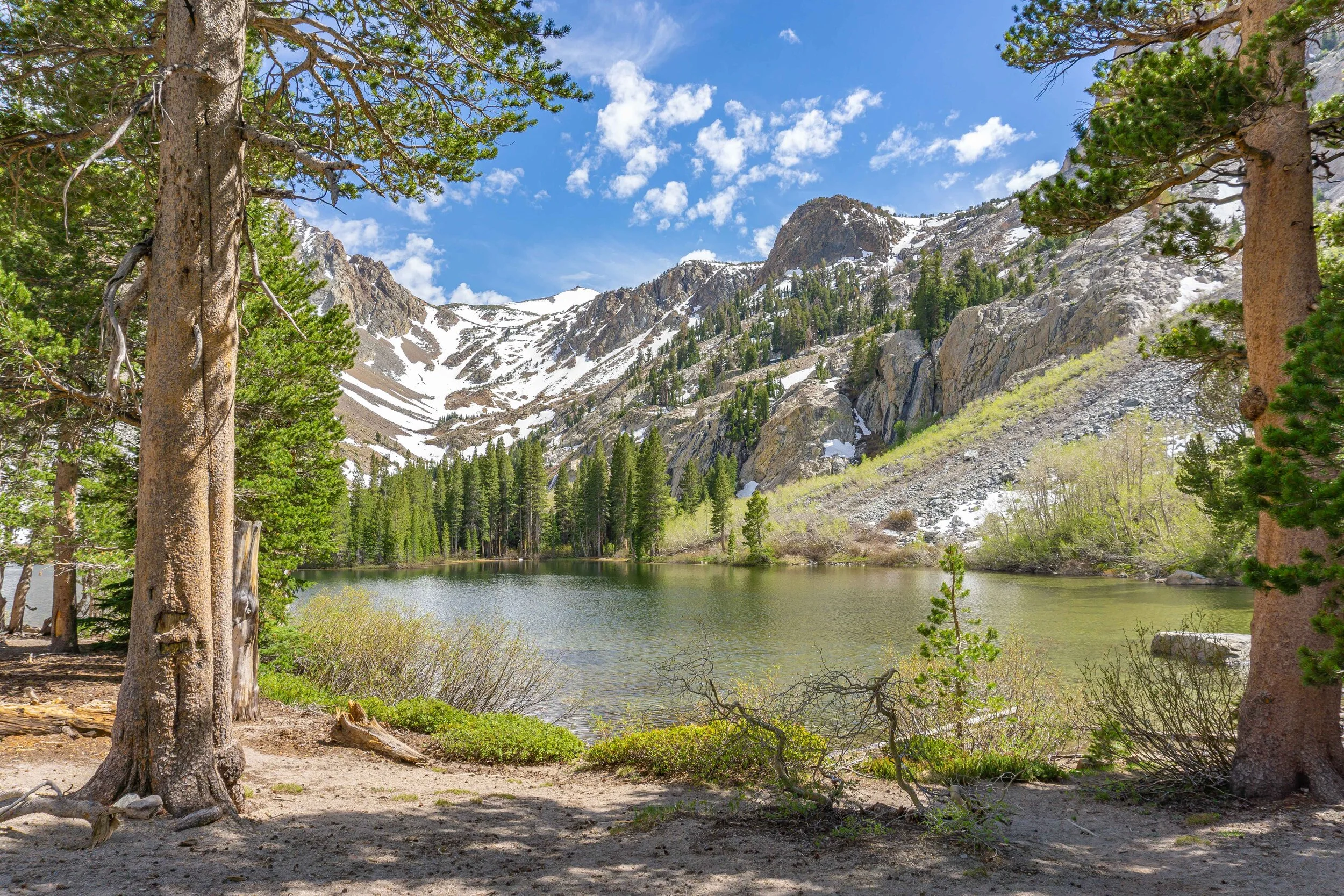
June Lake is a cute little mountain town about 20 minutes north of Mammoth Lakes with quite a few great hikes, Fern Lake being one of them. Now I won’t lie to you, it’s a traditional straight up hike to the lake and then straight down on your way back, no way around it. The incline can be quite the workout, but taking breaks to enjoy the views of the town from above is the key to success for this hike. 1.6 miles of hard work will be rewarded with a beautiful lake view, plus the steepness of this hike helps keep the crowds away.
Hiking Information
Location: Mono County - near June Lake, California
Trailhead & Parking: Google Maps
Date Hiked: May 29, 2020
Trail Type: Out & Back
Elevation Change: 1,566 ft
Distance Roundtrip: 3.2 miles
Nearest Restrooms: Rush Creek trailhead down the road
Fees: An overnight permit is required for any backpacking trip in the Inyo National Forest, which has a fee on recreation.gov. Day hiking this area does not require a permit and has no fees.
ID# on Recreation.gov: AA13
Season Accessibility: May - November
Trail Tip: The trail is very exposed & steep, going early will help with the heat & exhaustion
The Drive/Parking
You’ll drive on HWY 158 towards Silver Lake, once you pass the Four Seasons, you know you’ll be getting close. It’s a very small sign for Yost / Fern Creek on the left hand sign that directs you to the trailhead parking lot.
The Hike
I started out on the Yost Creek / Fern Lake trailhead on a Friday afternoon. As previously mentioned, this hike simply goes straight up to the lake and then straight down back to the trailhead. With this in mind, I hiked at a mellow pace so I wouldn’t exhaust myself too fast. The trail starts out in a beautiful wooded area with lots of aspen trees.
Once you pass the aspen tree section, you’ll start to see the trees thinning out and more of a view of the June Lake area. You’ll be able to see horsetail falls, which is along the Rush Creek trail (leads up to Agnew Meadows) and Silver Lake.
A bit further along, you’ll reach a split in the trail with signage for Yost Lake & Fern Lake. Left to Yost Lake, right to Fern Lake. The trail to Yost Lake had a creek crossing right after the sign, which looked a little slippery with the rushing creek.
Heading to the right, the trail gets a bit steeper, so I took my time, turning around to see more great views of June Lake from above. This view looks toward Gull Lake & June Lake.
Now in the final stretch towards Fern Lake, the trail is more wooded which helped cool me down after all that exposed uphill. You’ll still be heading up, but with a more mellow incline.
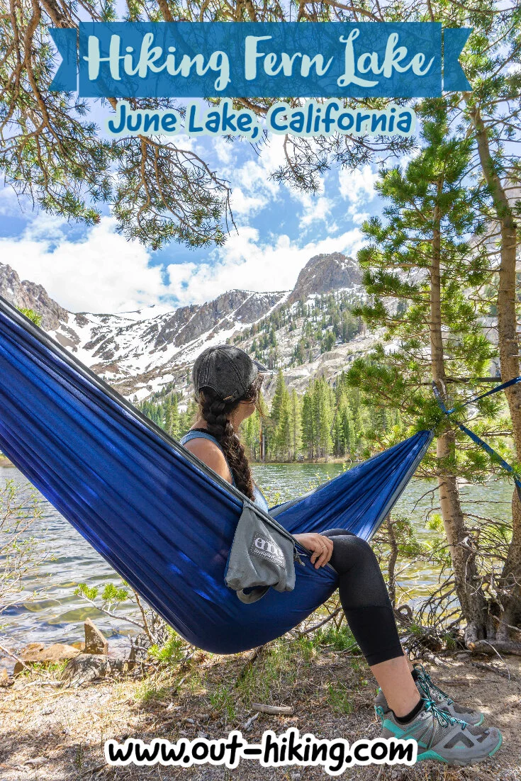
Once reaching Fern Lake, I headed to the left side of the lake to set up my hammock and eat a snack. It was a peaceful day at the lake and I only saw two other people. I hope you can see this lake for yourself the next time you’re in the Eastern Sierra, or if you don’t feel like an uphill workout maybe you can get some enjoyment out of the photos & videos I provided. Happy Trails!
VIDEO OF MY ADVENTURE
PIN THIS for later!
Thanks for reading my latest adventure!
Tiare Kirkland
Hi! My name is Tiare, but you can just call me ‘T’. I’m a California based hiker and I spend most of my free time taking photos and videos of some of my favorite hikes. You can usually find me ‘Out Hiking’ in the Sierra Nevada mountain range or road-tripping to new areas. Read more about me here and follow along with my adventures by subscribing below!


